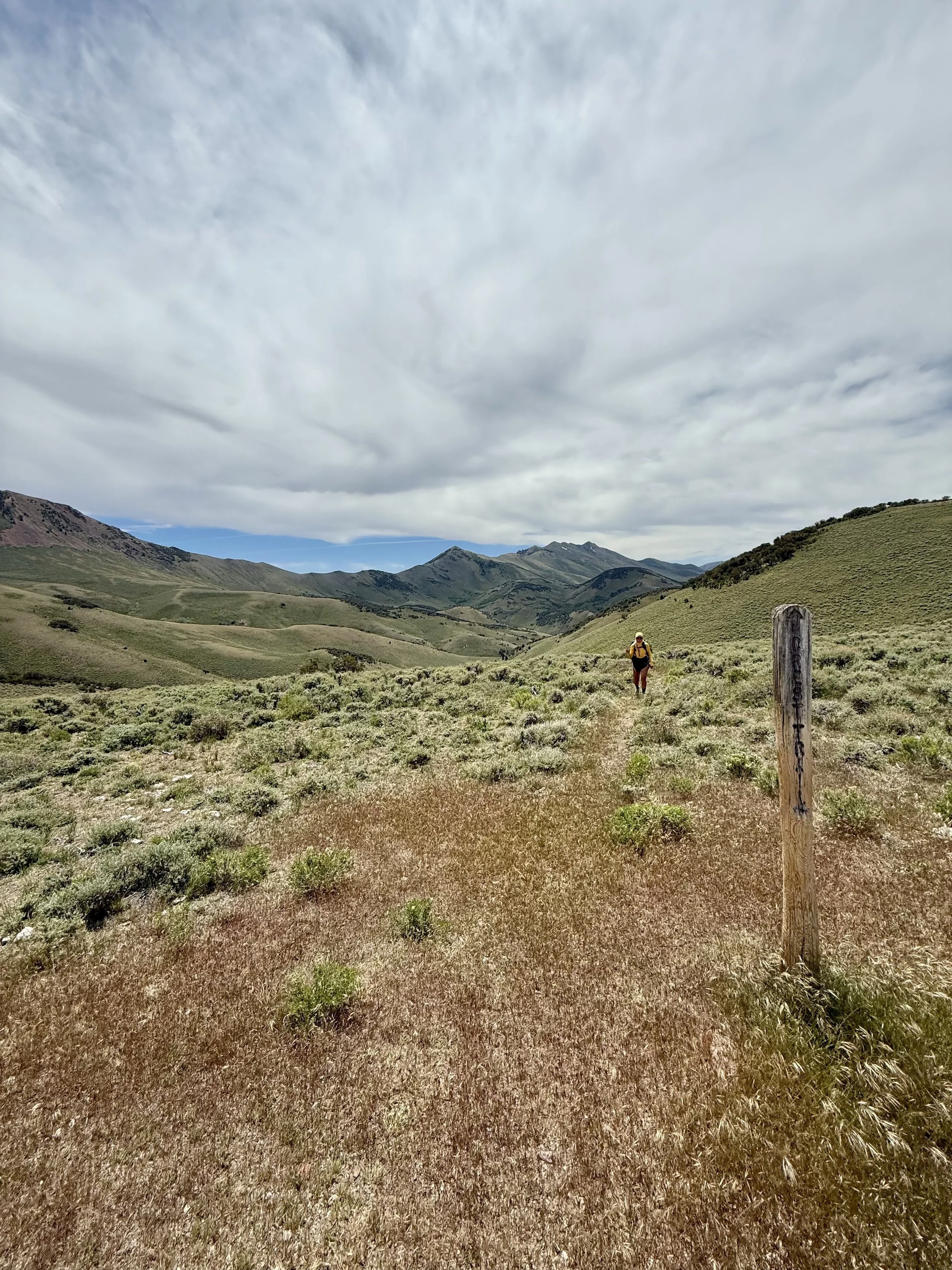
Toiyabe Crest Trail (TCT)
Quick Stats: June 6 - 8
Route: South Twin River Trailhead → Kingston Trailhead (South to North)
Distance: 67 miles
Elevation Gain: 16,000 ft
Time: 53 hours
High Point: 11,000 ft
Biggest Route Challenge: Very unmaintained sections of trail requiring solid navigation skills.
Water: Abundant for roughly the first 20 miles. Water becomes less frequent once you climb onto the crest.
Permits: None required.
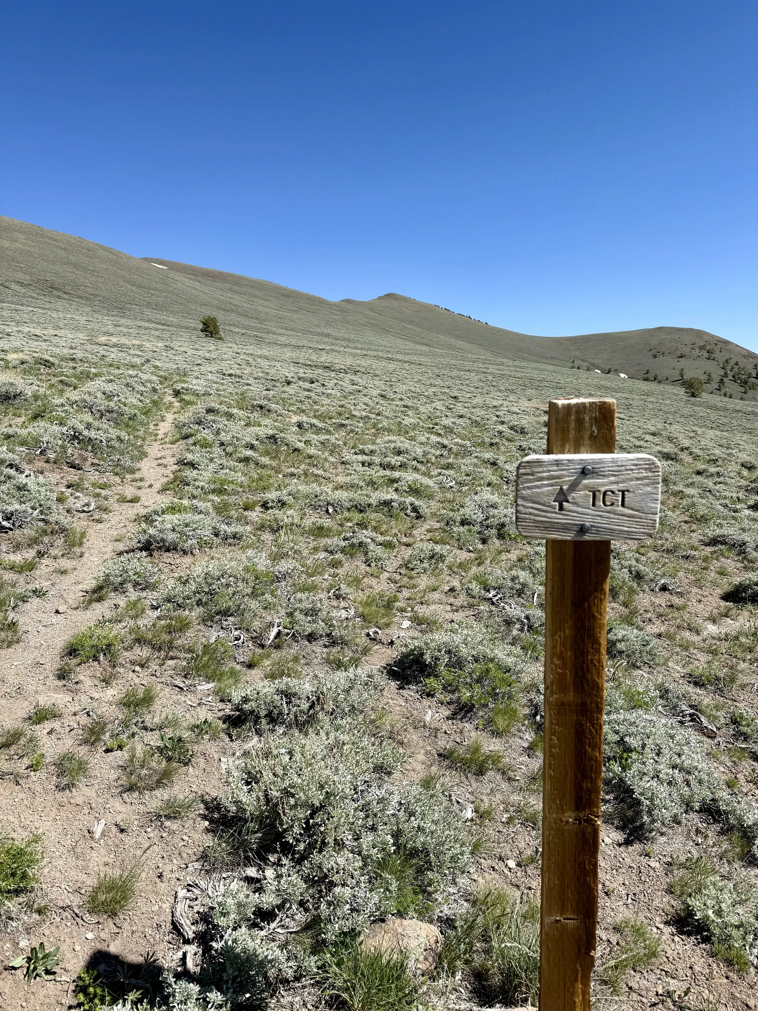
The Toiyabe Crest Trail is a National Recreation Trail that traverses much of the Toiyabe Range in central Nevada. The Toiyabe Range is Nevada's longest mountain range, and the trail follows much of its crest through some of the most remote country in the state.
We did this route at the beginning of June. Before heading out, I looked at historical snowpack using CalTopo's Sentinel imagery and knew that most years the trail doesn't fully melt out until late June. With the lower snow year of 2025–26, we were able to hike it a few weeks earlier without encountering any snow that required crossing.
Route Logistics
Because of the point-to-point nature of the route, we brought two vehicles. I would have loved to bring one vehicle and leave bikes at the Kingston Trailhead for the shuttle back, but I was still recovering from a radial head fracture and hadn't been cleared to ride yet.
This was also our first trip with an electric vehicle, which proved to be a little more logistically challenging given how remote this part of Nevada is. There is an EV charger in Austin, but it wasn't compatible with our vehicle. That meant my husband had to return to Carson City via Tonopah and Hawthorne to charge instead of retracing our steps through Austin and back to Fernley.
Our shuttle looked like this:
Carson City → Fernley (charge) → Kingston Trailhead (drop EV) → South Twin River Trailhead (gas vehicle)
The drive between the Kingston Trailhead and the South Twin River Trailhead is about 45 minutes. Both roads are dirt, but when we were there they were accessible by passenger car.
Day 1 – South Twin River Trailhead to First Pass
8 miles | 3,200 ft gain | ~5 hours moving
We got started around 3:30 PM.
The first eight miles took us just over five hours. Hiking pace can vary a lot, but I mention that mostly to demonstrate how unmaintained this section of the trail is.
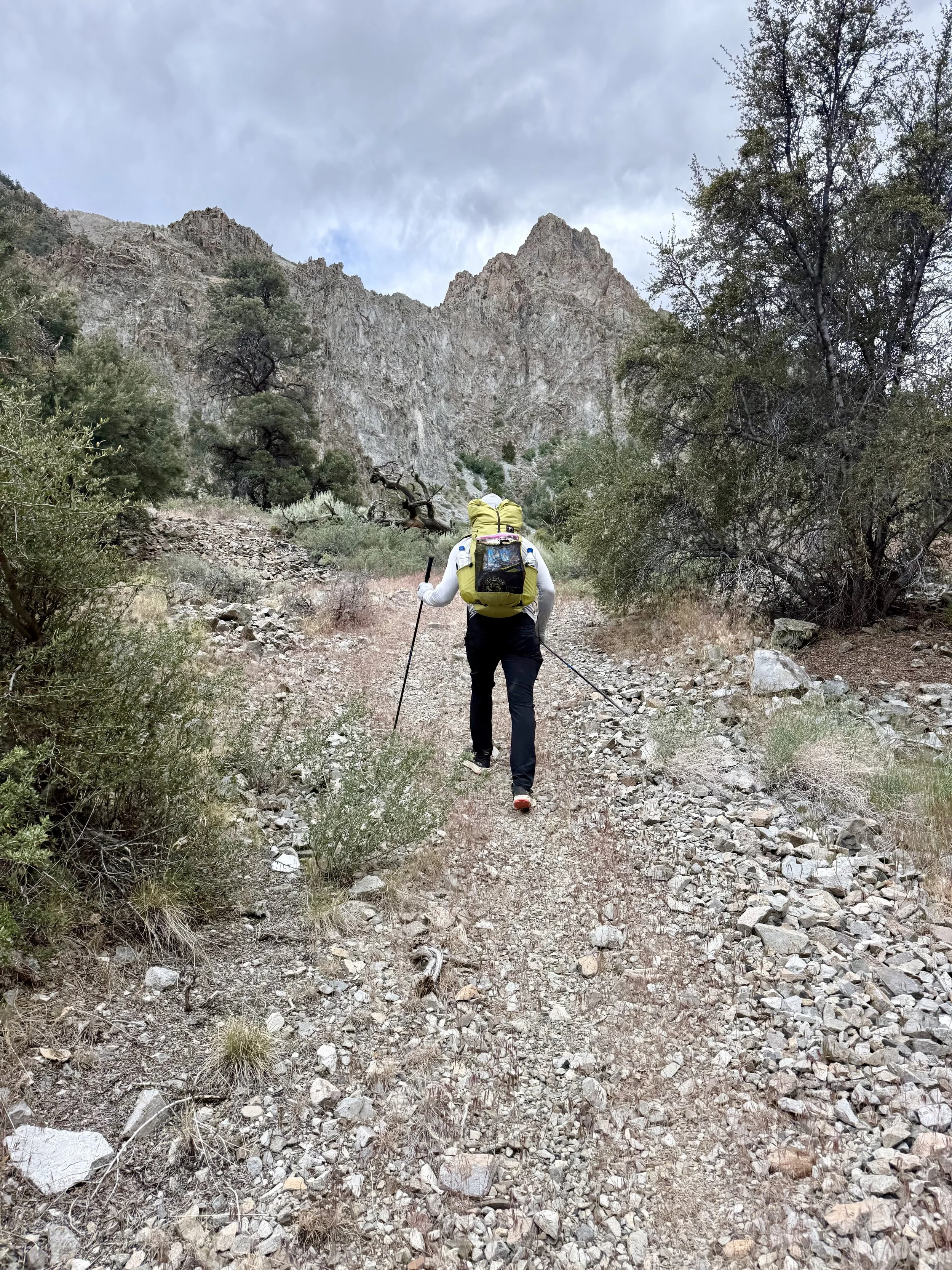
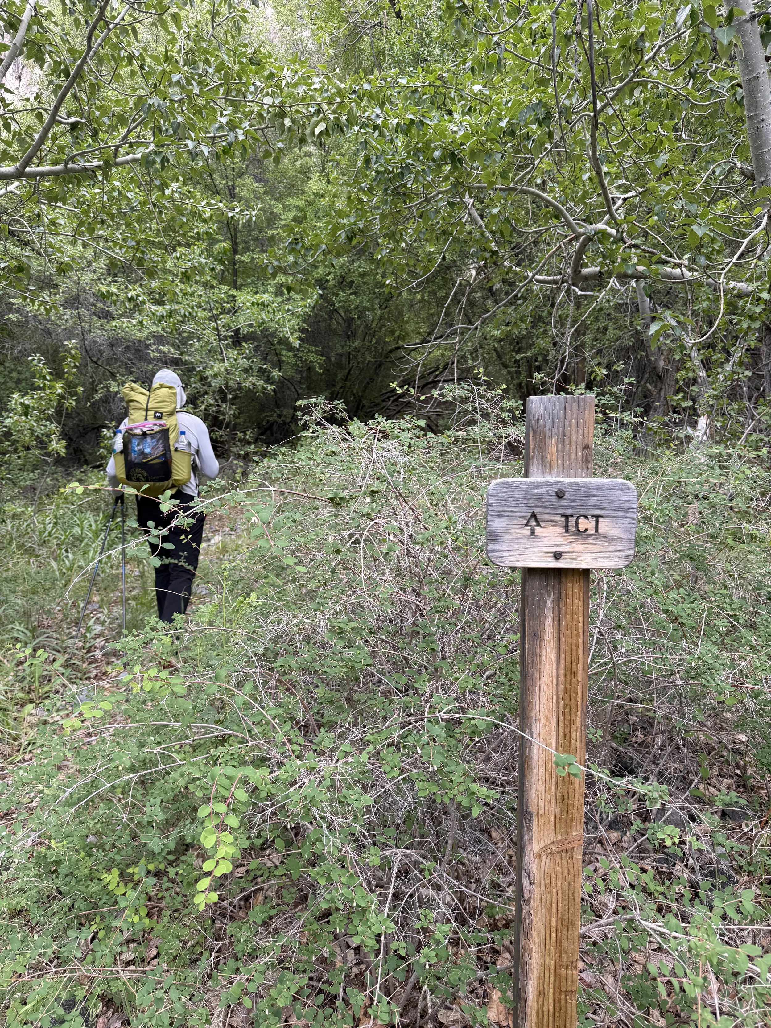
The trail was heavily overgrown in numerous places. We crossed the creek countless times. We both tried to keep our feet dry. Michael succeeded. I did not.
The brush included plenty of thorny bushes, so instead of simply pushing through, we had to carefully pick our way through many sections.
These first eight miles also included a lot of meadow walking. It was beautiful, but the tall vegetation made the trail surprisingly easy to lose without checking CalTopo regularly.
Along the way we came across a bighorn sheep horn and femur, along with several old cow skeletons.
This section climbed roughly 3,200 feet.
For what it's worth, we also stopped to cook a meal and filter water during those five hours.
We ended up camping near the first pass at around 9,000 feet. It was getting dark, and neither of us wanted to be bushwhacking through thick brush and boggy meadows while trying to navigate in the dark. It was hard enough during the day.
Day 2
25 miles | 5,600 ft gain | 4,800 ft loss | 15½ hours
We packed up camp and started hiking a little before 5:45 AM.
We've both been leaning into taking a SIS Beta Fuel + Nootropics gel for "breakfast." Breakfast in quotes because it's obviously not a real breakfast. But it's hard to beat getting 40 g of carbs and 200 mg of caffeine in right away with almost no effort.
We've gotten away from bringing coffee on these trips and instead lean on caffeinated gels and caffeine pills. I love my coffee, but what I really need out there is the caffeine.
The start of Day 2 was...interesting.
We almost immediately encountered another large bog. There was A LOT of standing water throughout this section, which is probably one of the tradeoffs of doing the route this early in the season.
I'm honestly not sure how we avoided mosquitoes because there was standing water everywhere. I think I would have actually lost my mind if we'd been battling skeeters on top of the thorny bushwhacking, bogs, and very unmaintained trail.
The river crossings also just kept coming.
We had several crossings where the water reached our knees, and it felt like we were constantly zig-zagging back and forth across the river...because we were. We crossed it well over 30 times.
At one point the river was moving too fast and was deep enough that crossing it would have required swimming. Instead, we climbed high above the drainage and went cross-country.
We came across some game trails that ended up being much nicer than the official “trail” along this river section.
We ended up climbing away from the river twice because of the large crossings and the amount of bushwhacking.
We've done plenty of schwacking over the years, but this was genuinely some of the slowest travel we've experienced. Between the thorns, bogs, and repeated river crossings, it was actually faster to climb uphill and travel cross-country than it was to stay on the “trail”.
Because we did this route so early in the season, I do wonder if this section becomes much easier later in the summer once the river drops and the bogs dry out.
It took us eight hours to cover just 12½ miles through this section. We climbed 1,600 feet and descended 2,200 feet.
I was pretty happy when we finally climbed away from the river. 😂
One big advantage to this entire section—or really the first 20 miles of the route—was water.
There was no reason to carry much.
Water was everywhere, and I don't think anyone would need more than about 1 liter of carrying capacity through this section.
Again, this is very dependent on what time of year the route is done.
Once we climbed away from the river, though, that changed.
The climbing was steep, but it was dry trail and a huge improvement over what we'd been dealing with all day so far.
Before starting the climb, we made a point to completely fill our water. I carried 3 liters of capacity, Michael carried 4 liters, and we both drank about a liter before leaving our final reliable source since water was about to become much less frequent.
Our goal for the day was to reach Ophir Pass before dark.
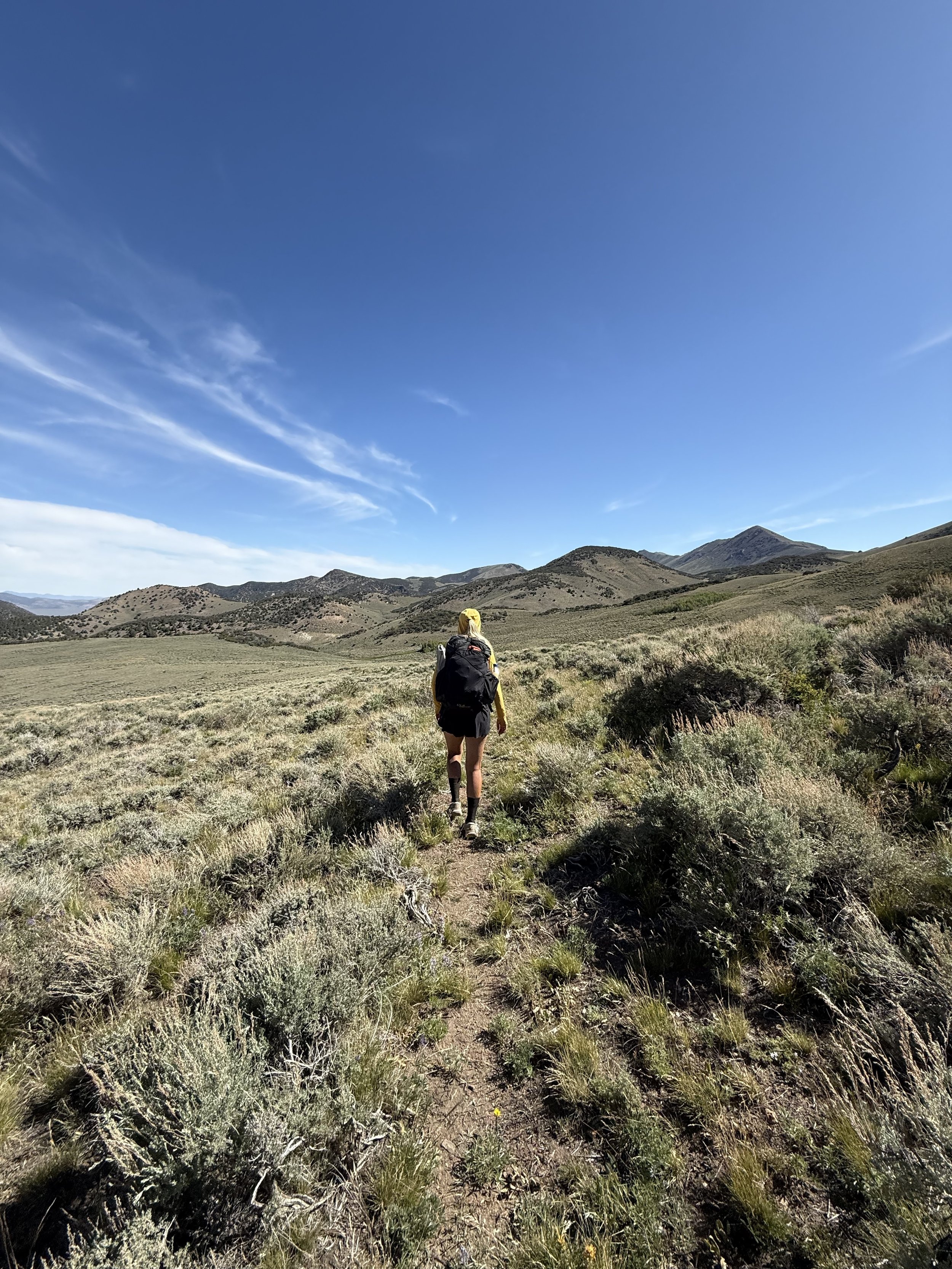
The transition from bushwhacking on "trail" to hiking on an actual trail was such a nice change. The views also started opening up as we made our way onto the crest of the range. This section is stunning, and the views of Arc Dome just keep getting better.
We rolled into Ophir Pass around 9 PM.
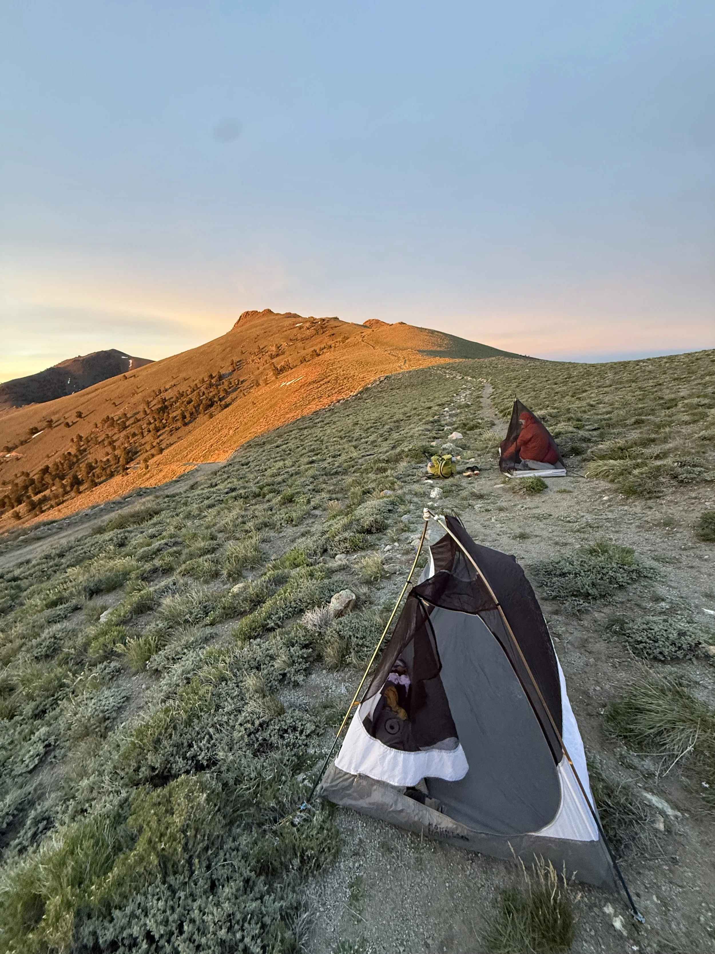
It was a little windy—not bad for a mountain pass—but we ended up camping directly on the trail just below the pass where we could get a little shelter from the wind.
At just over 10,000 feet, it was another pretty cold night; despite wearing every layer I had, I was still a bit chilled.
Trail Conditions
I mention the trail conditions simply to help set expectations, not as a criticism. There has been recent volunteer work to restore sections of the trail, and it's clear that a lot of effort has gone into keeping it open. At the same time, this is a very remote mountain range, and there isn't a large, dedicated trail crew maintaining the entire route. The overgrown sections, creek crossings, downed trees, and occasional bushwhacking are simply part of the experience—and honestly, part of what makes the Toiyabe Crest Trail feel so wild.
Day 3: Ophir Pass → Kingston Trailhead
34 miles | 6,000 ft gain | 8,700 ft descent
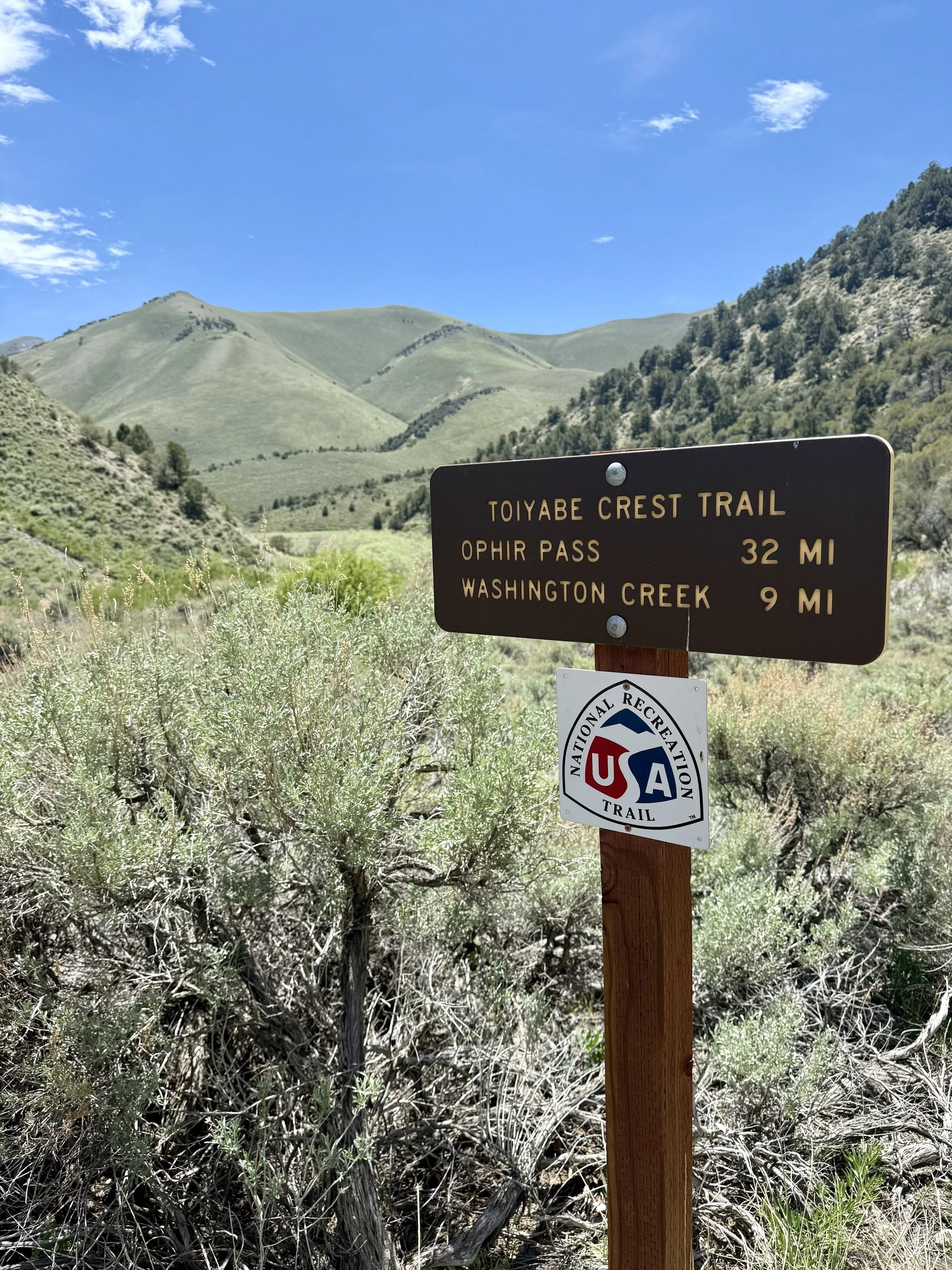
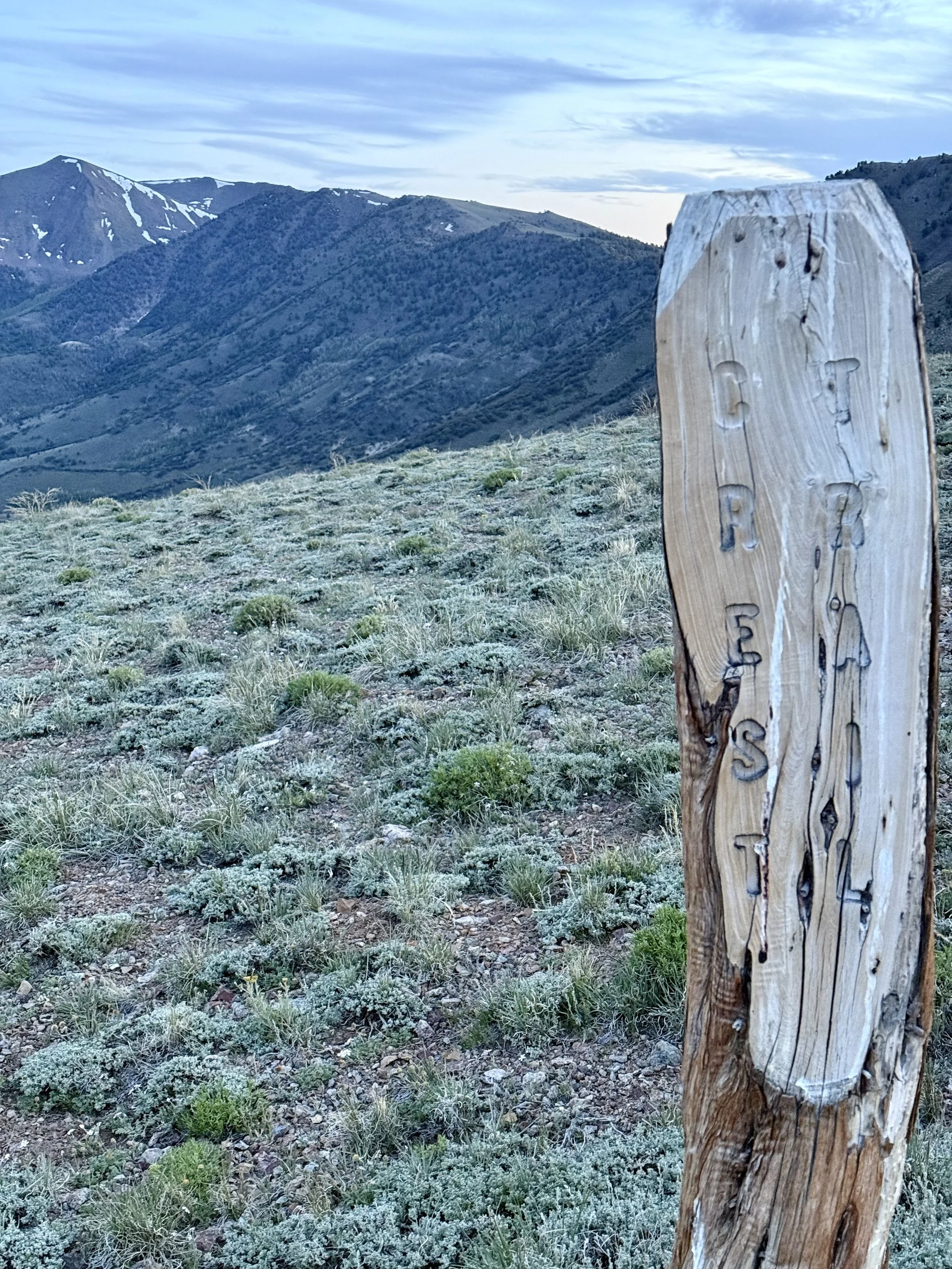
The sign at Ophir Pass said it was 32 miles to the Kingston Trailhead.
It was 34.
We wondered if the signs got mixed up because it was 32 miles from the South Twin River Trailhead to Ophir Pass, and all the signs are new. Everything added up to 34 miles on CalTopo and with where our GPS landed us.
This section climbed roughly 6,000 feet and descended 8,700 feet.
Just like the previous morning, we started hiking around 5:45 AM with another SIS Beta Fuel + Nootropics gel in hand.
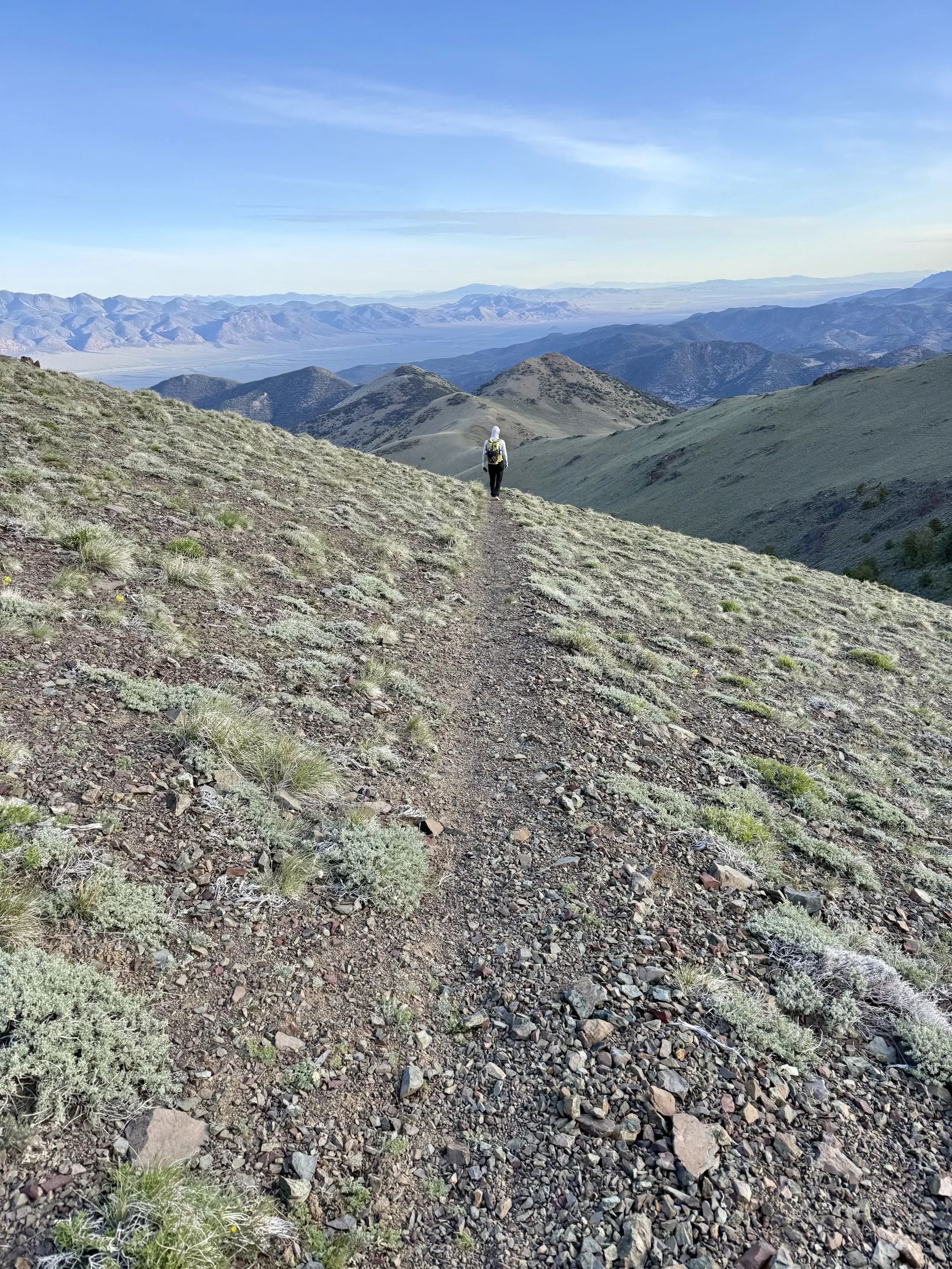
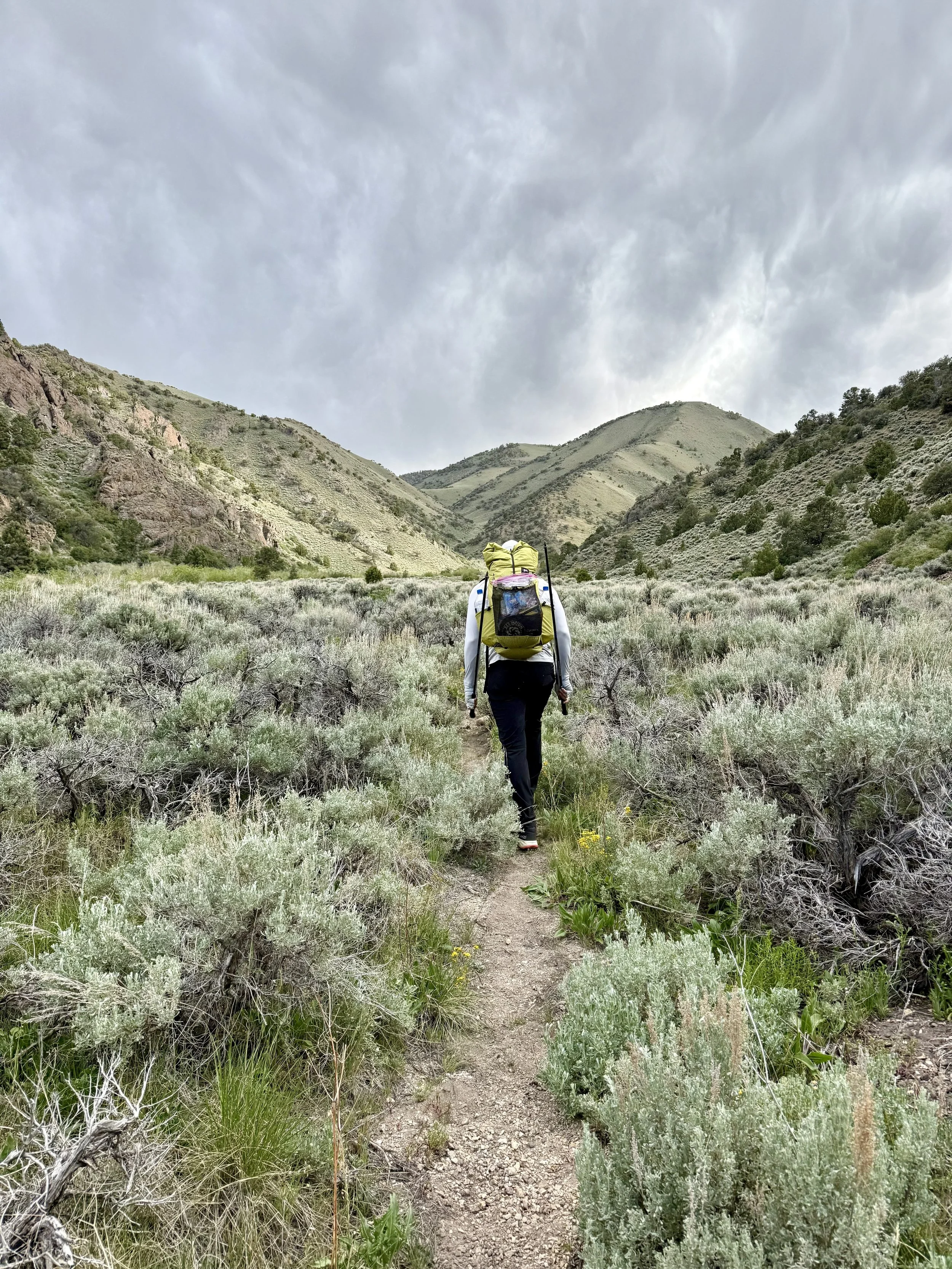
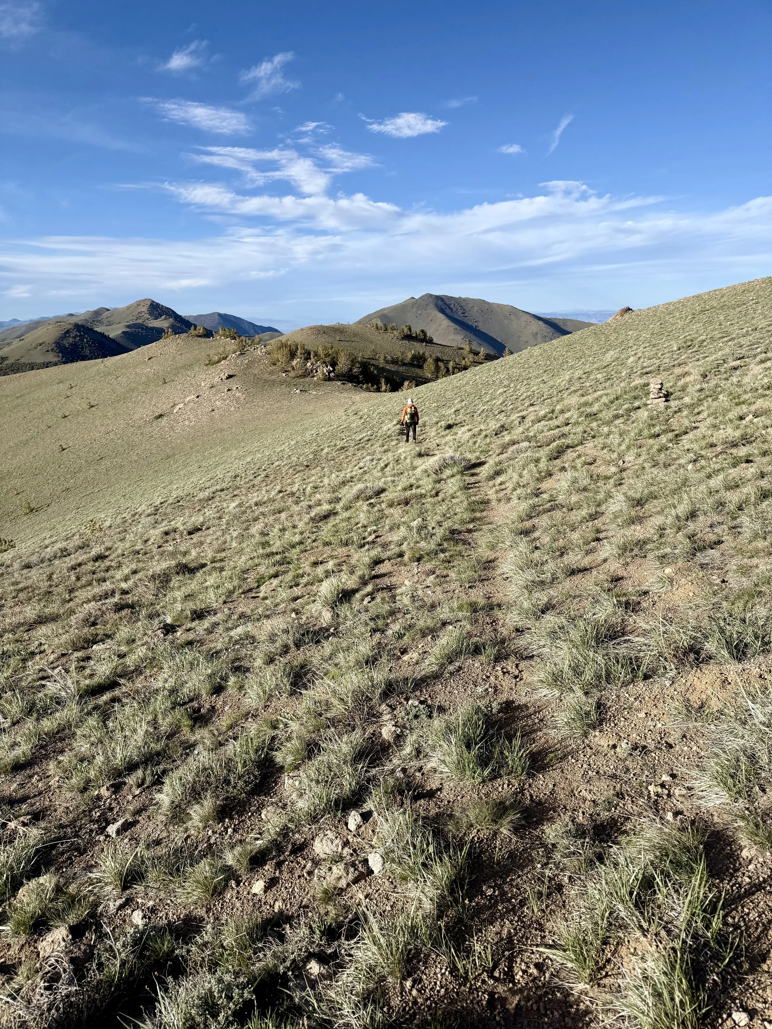
The initial section leaving Ophir Pass is incredibly beautiful. You can see the trail stretching along the ridgeline far into the distance, and the relief through this section is massive.
Michael started referring to it as a "cat trail" because it felt like about a quarter of the width of a normal singletrack.
This ended up being our biggest mileage day of the trip, largely because this was the nicest and most maintained section of trail we'd been on so far. But also because we needed to finish today.
This is also the section that people mountain bike between Ophir Pass and the Kingston Trailhead. Which honestly (as of 2026) would still be “adventure biking” vs maintained trail biking. Not a bad thing…more just something to expect before heading out here.
For reference - one of Michael’s co-workers recently did this as a Mt bike, and it took 9 hours to go 22 miles on this section of trail.
By the final day, my feet were definitely starting to talk. Walking downhill wasn't particularly enjoyable anymore.
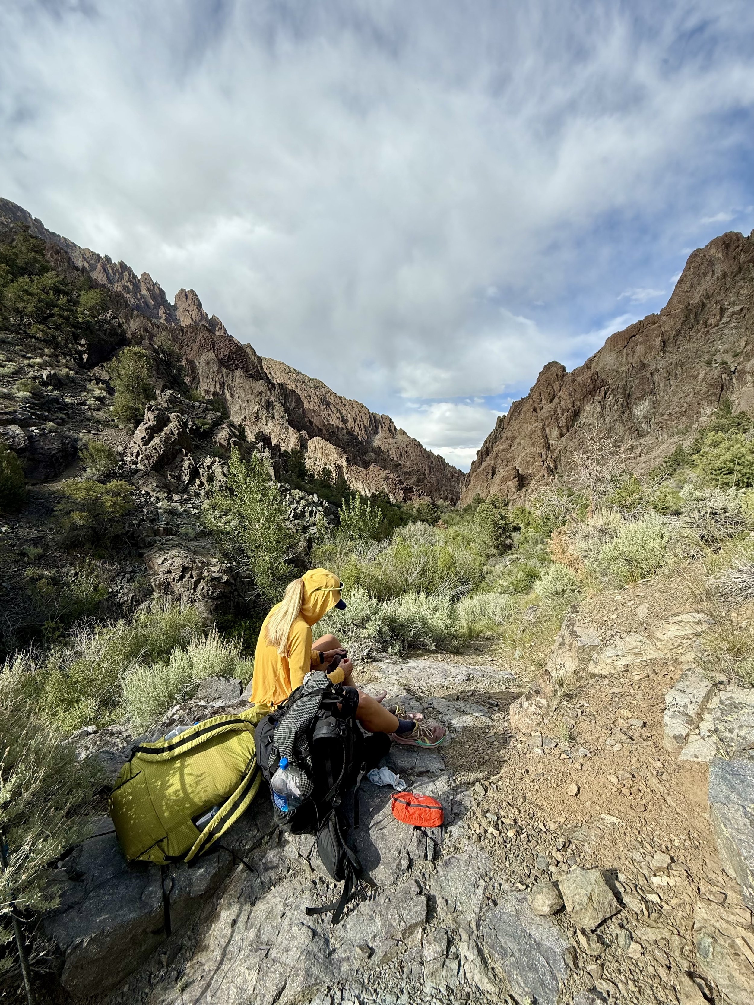
Whenever we stopped to eat, I'd take my shoes off and soak my feet in the cold water. It helped...temporarily. I did the same thing one more time before our final climb.
Water through this section is a little harder to explain, but I've marked the sources on the CalTopo map. Just remember that we did this route at the beginning of June during a lower snow year. Later in the season, some of these sources may not be reliable.
Finishing the route with a 5-mile, 2,000-foot climb was tiring.
The 3,000-foot descent into the Kingston Trailhead was harder.
Being able to see the car from the crest before dropping all the way down to it was a little cruel.
Gear
Pack: ULA Circuit 68L
- I wore my Ultimate Direction Fastpack on the Mono Lake Circumnavigation the week before and couldn't tolerate another trip with that pack. The Circuit was definitely overkill in terms of size, but much more comfortable.
Shelter & Sleep System
- Mountain Hardwear Nimbus UL1
- This was my first trip using this tent...and the pole broke. 🙂
- I ended up exchanging it after the trip, but I actually liked the tent a lot. My bug bivy is only 5 oz compared to this tent's 27 oz, but the ease of setup and the extra space were worth the additional weight.
- Zpacks 20° Quilt
- Exped Ultra Sleeping Pad
- Hummingbird Hammocks Inflatable Pillow
Clothing
- Alpha Direct Hoodie
- Alpha Direct Socks (sleep socks)
- Patagonia Houdini
- Montbell Anorak
- 2 pairs of socks
Cooking
- Jetboil MicroMo
- Small fuel canister
Footwear
- ASICS Trabuco 14
- Leki Trekking Poles
Essentials
- Garmin inReach
- 2 battery banks
ultraspire 600 lumen waistlight
- Small first aid kit
- Squirrel's Nut Butter
- Hand sanitizer
Nutrition & Hydration
I brought roughly 3,500 calories per day (about 9,000 calories total).
Compared to the Mono Lake Circumnavigation the week before, I packed about 500 extra calories per day because of the amount of climbing.
Water wasn't much of a concern through the first 20 miles. There was water almost everywhere, so carrying more than about 1 liter wasn't necessary.
Once we climbed away from the river, water became much less frequent. I carried 3L of capacity, Michael carried 4L, and we both made a point to drink about a liter before leaving our final reliable water source.
Big Takeaway: This route requires a downloaded map and navigation knowledge. Because of this, having a backup battery bank or two so that your map is accessible is something to strongly consider (assuming you’re not bringing a paper map).
Training Takeaway
No matter how fit you are, nothing quite prepares you for walking 15+ hours a day like walking 15+ hours a day.
Your feet adapt to long days by spending long days on your feet. Your body adapts to carrying a heavy pack by carrying a heavy pack.
Just like an ultra, you can train for these demands to a degree, but you can never fully recreate the actual effort until you're out there doing it.
Resources
GPX Track (Downloadable on Map)